Dr. Jeremy Maurer, Assistant Professor in Geological Engineering
Personal Site
Interested in learning more about the great work GEMLab does?
Help Out
Help out GEMLab with some of its great work!
Still Not Satisfied?
Check out some of the other fantastic research conducted here at EMRGe
News
Publications
Research
- Haiti Earthquakes
- Mexico Slow-Slip
- Improving InSAR
- Induced Earthquake Limitations
- Past Work
Haiti Earthquakes
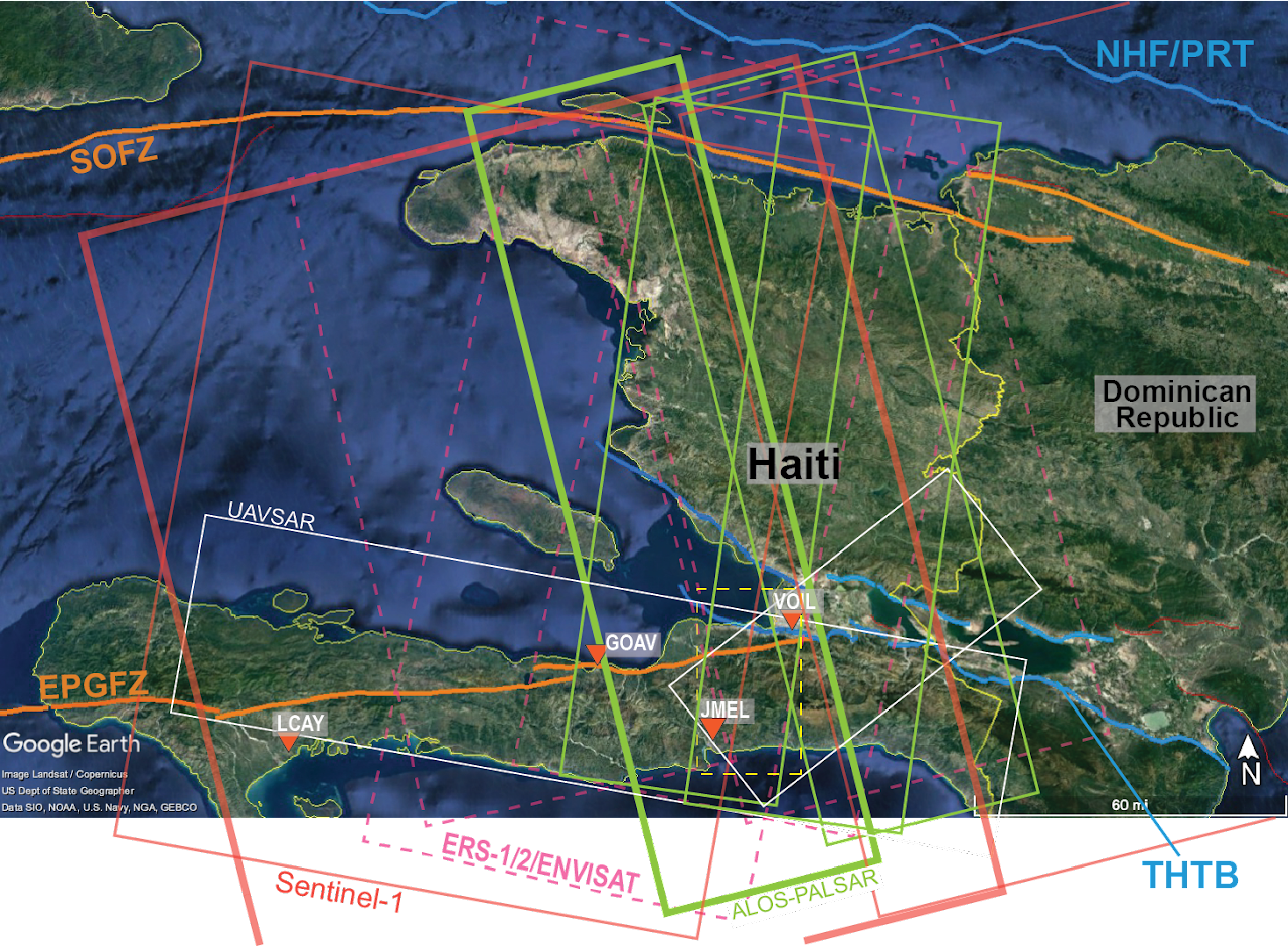
We have a current project looking at the 2010 Haiti earthquake using geodetic remote sensing. In particular, we aim to reconcile vertical deformation rates from geologic and geodetic indicators. Results from the study will be used to constrain fault geometry and slip rates, vertical land motion, and long-term hazard from earthquakes and sea level rise.
Mexico Slow-Slip
We are using InSAR and GNSS to constrain slip during the 2017/18 slow-slip event and associated earthquakes. Our results indicate that the event likely released only a fraction of the accumulated moment deficit on the fault, and that it transferred stress to nearby locked asperities.
Improving InSAR
Microwave signals from SAR satellites traveling through the atmosphere are delayed by the troposphere and the ionosphere. Spatial and temporal variations in pressure, temperature, and relative humidity, mainly in the lower part of the troposphere, result in a spatially varying tropospheric delay, which can be 15 cm of apparent deformation. We are working on new methods to estimate and remove the troposphere noise to improve InSAR estimates of ground deformation. We are working on developing a new tropospheric correction package for Python called RAiDER.
Induced Earthquake Limitations
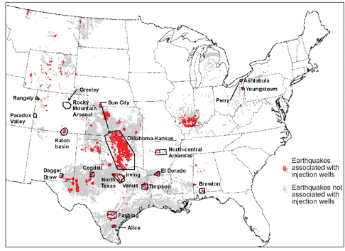
Two outstanding questions for induced seismicity is whether the volume of injected fluid limits rupture size, and what we can learn about the earth from induced earthquakes. We are working to compare earthquake simulations and fault models to real induced seismicity observations to both learn what likely controls earthquake size and what properties of the crust and faults can be determined by looking at earthquakes. See our recently-published paper for more details.
Past Work
Declustering Induced Earthquakes Increases Risk in Oklahoma
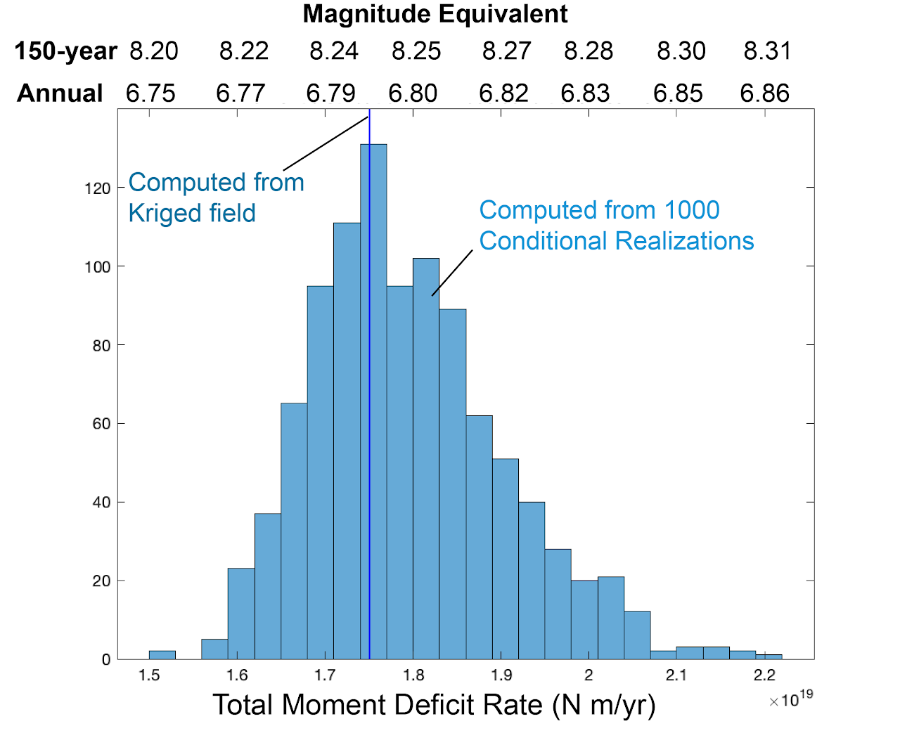
Moment Deficit and Earthquake Potential in Southern California
Additional Publications
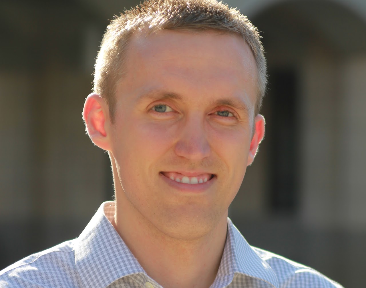
Dr. Maurer is Assistant Professor in the Geological Engineering program at Missouri S&T in Rolla, MO, where he has worked since January 2020. Dr. Maurer's research is focused on applying a broad range of statistical and computational techniques to solve problems in earthquake science and remote sensing. Several projects in southern California, Mexico, Haiti, and Guatemala involve using InSAR and GNSS to measure crustal strain accumulation on large faults and resulting earthquake potential, developing new algorithms for quantifying uncertainty in the results. He also studies human-induced earthquakes, using numerical models and statistical analysis to understand what controls the largest events, and develops new methods to model and remove atmospheric noise from InSAR data.
Phone: (573) 341-4852
326 McNutt Hall 1400 N Bishop Rolla, MO 65409
Lorem ipsum

